
Ribeirão Preto is located in the State of Sao Paulo, Brazil. Sunny weather all over the year. With more than 700,000 inhabitants, Ribeirão Preto is the seventh-largest city in the state in terms of population. With a total area of 652,2 square kilometers, its latitude is 21º 10' 42" South e 47º 48' 24" West; and it is 330 km far from the capital city (São Paulo), and 708 km far from Brasília, the federal capital. The average altitude is 546,8 m. Ribeirão Preto is in the center of an urban agglomeration with more than one million inhabitants.
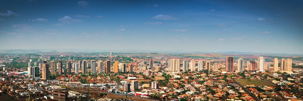
Panoramic View of Ribeirão Preto
The city was founded on June 19th, 1856, by farmers who came from the southeast of Sao Paulo State to search for a good climate and soil for coffee growing. The city was laid by a stream called "Black Stream" and was named after it. Eventually, the farmers' choice was revealed very adequately and the fertile soil of the area allowed the highest crop productivity in Brazil.
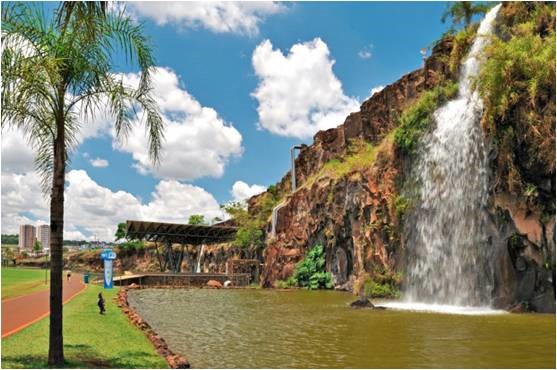
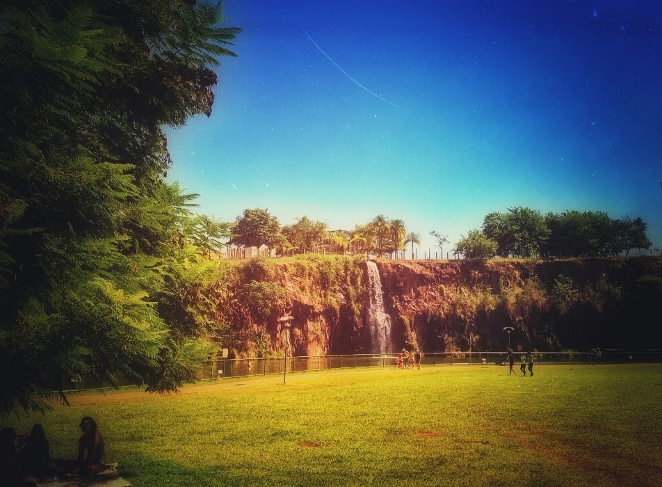
Dr. Luiz Carlos Raya Park
After the New York Stock Exchange crash in 1929, the economy of Ribeirão Preto, based only on exportation crops, collapsed, and the city had to adapt to a new situation. Since the city is relatively far from other major Brazilian urban centers, it found a new economic vocation in the services and commercial sector, which was developed to meet the local and regional demands.
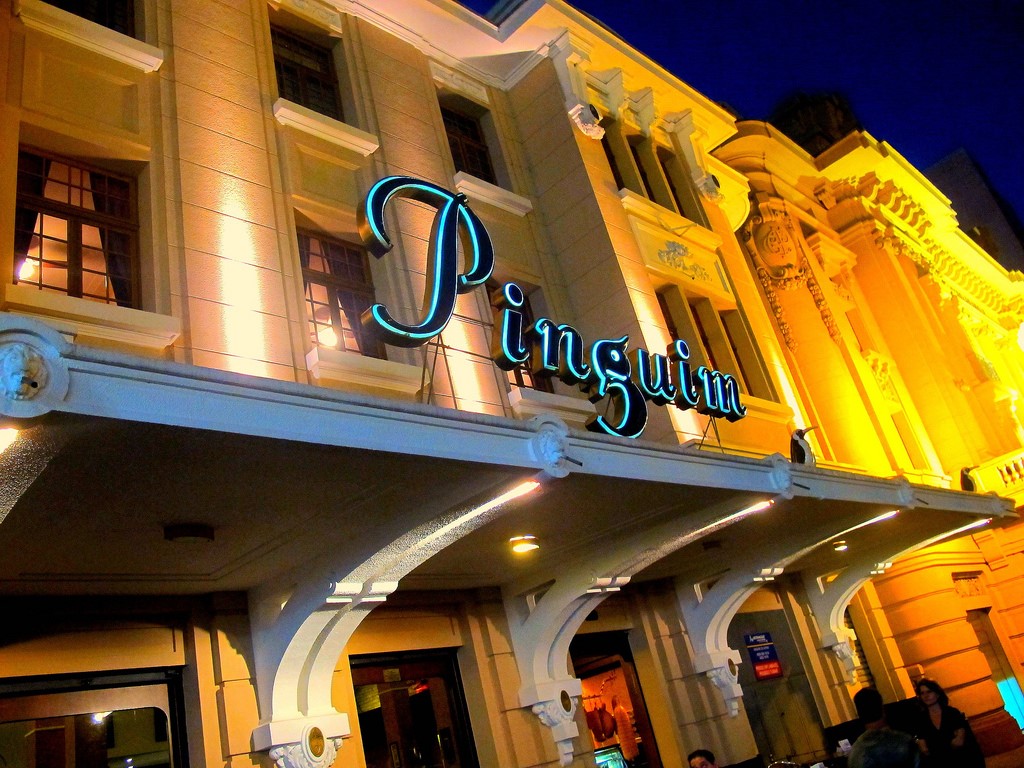
Chopperia Pinguim
The second economic boom in the history of Ribeirão Preto occurred after the oil crisis in the 1970s. The increase in the oil price forced Brazil to look for alternative means of fueling and the solution found was the sugarcane ethanol program, or Pro-Álcool as it was called. The program led to the development of a technology that allows the use of ethanol either as automotive fuel or as a gasoline additive to improve performance and decrease polluting emissions. Due to the Pró-Álcool program, local farmers were encouraged by government subsidies to grow sugarcane. The high productivity of the land around Ribeirão Preto rapidly placed the region as the biggest ethanol and sugar producer in the world, being responsible for 30 percent of Brazil's sugarcane ethanol.
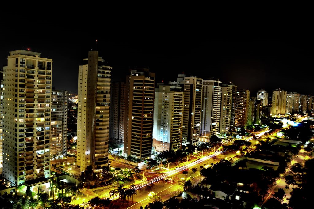
Night scenery of Ribeirão Preto
In an opposite direction to what had happened during the city's first economic boom, this time Ribeirão Preto farmers and entrepreneurs did not concentrate exclusively on a single crop and diversified their investments making the city one of the most important agribusiness centers of Brazil. Besides sugar and ethanol, Ribeirão Preto's major products are orange juice, cotton, rice, meat, dairy products, textiles, machinery, steel, furniture, building materials, agrochemicals, pharmaceuticals, and beer.
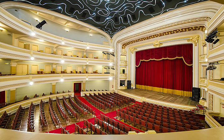
Theater Pedro II - inside view
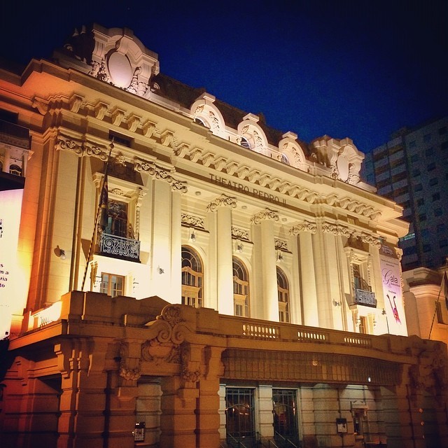
Theater Pedro II - outside view
The sugarcane boom brought a new age of prosperity for the city, which was called the "Brazilian California" during the 1980s and early 1990s, and this has increased the city's wealth and turned it into a sophisticated center of services for Brazil and South America.
Ribeirão Preto is a very warm city during the whole year. Generally, between the months of May and September, the temperature drops considerably in the mornings and at nights, but it is still warm during the afternoons. It is strongly important to remember that in these months, the air humidity is considerably very low and it rarely rains.
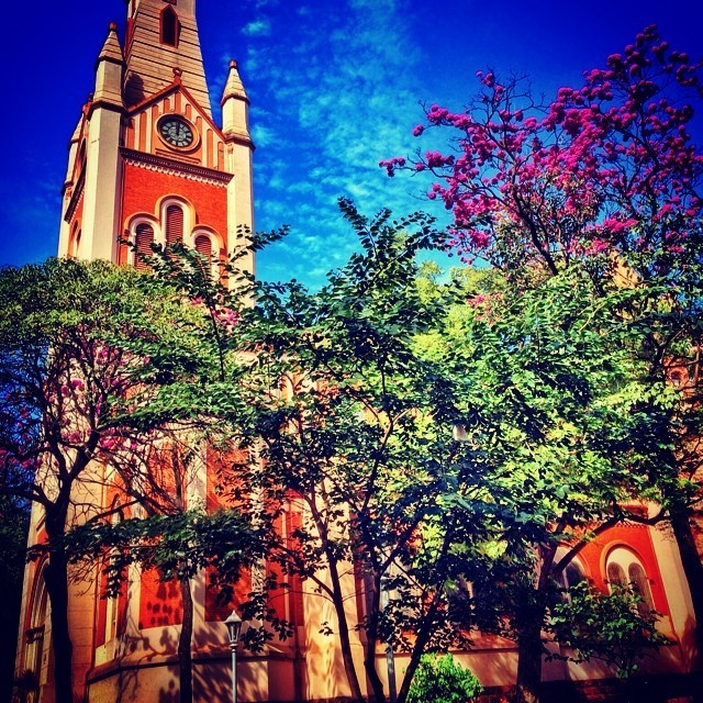
Metropolitan Cathedral Church of Ribeirão Preto
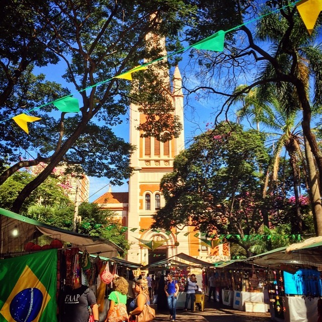
Hippie market fair at Praça das Bandeiras, Downtown Ribeirão Preto.
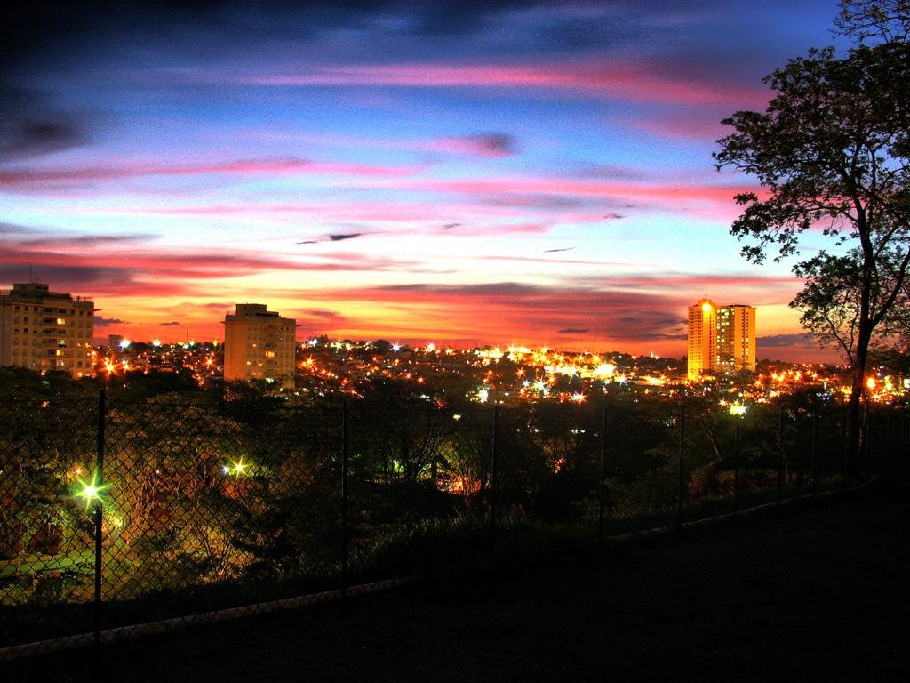
Sunset